

It was 200 years ago that the first land grants were issued to families as part of Stephen F. Austin’s original colony in Texas.
The majority of these original land grants, known as the Old 300, are located along the rivers and large creeks, especially the Brazos River which ran through the middle of the colony.
Henry Mayo with the Texas Society of Professional Surveyors says part of College Station is part of the Old 300.
“Down right below Wellborn, the Creek Meadow subdivision is there and you can see how the roads the boundaries of the subdivision are exactly where they were established 200 years ago,” says Mayo.
There are also a few parcels of land along OSR near the RELLIS campus.
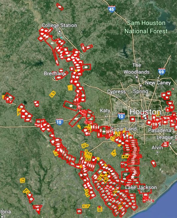
Mayo says most of the original parcels of land have been broken up, but he has met people who still live on a piece of their ancestors’ Old 300 land.
Listen to “Celebrating the 200th Anniversary of the Old 300 Land Grants” on Spreaker.
News release from the Texas Society of Professional Surveyors:
In early July 1824, Commissioner of Colonization Baron de Bastrop arrived at San Felipe de Austin and began issuing land titles to Empresario Stephen F. Austin’s first colonists. In July through mid-August of 1824, Bastrop issued titles to approximately 270 Mexican land grants, totaling over 1.5 million acres of land. These first families of Austin’s colony became known as the “Old 300” since Austin had been authorized to bring 300 families to Texas, under his colonization contract with the Mexican government. The remaining “Old 300” grants authorized under the first contract were issued at San Felipe in May and June of 1827, while grants under the second contract were also being issued.
The majority of these original land grants are located along the rivers and large creeks, especially the Brazos River which ran through the middle of Austin’s colony, bounded on the south by the Gulf of Mexico and the north by the Old San Antonio Road (El Camino Real).
The surveyors of Austin’s colony had been busy since late 1823, measuring and mapping the sitio and labor tracts being granted to immigrant settlers. The unit of measure was the Spanish vara which was established in Austin’s colony as being equal to 33.4 inches, but later became standardized across Texas as being equal to 33-1/3 inches. The sitio de tierra grants, intended for ranching, were one league (5000 varas) square, or a tract of equivalent area (25 million square varas). Based on the 33-1/3 inch vara standard, a square “league” of land was 4428.4 acres. The labor grants, intended for farming, were 1000 varas square, or a tract of equivalent area (1 million square varas), equal to 177.1 acres of land. Although Mexico began using the metric system of measurement in the mid-1800s, Texas still uses the vara as its official unit of measure for State-owned property.
The Texas General Land Office, established in 1836, has scans of the original land grant documents, surveys and maps available online at www.glo.texas.gov/ and www.historictexasmaps.com/
The San Felipe de Austin State Historic Site is operated by the Texas Historical Commission. Situated within the townsite of Austin’s colonial capital, the new museum there was opened in 2018 and offers exhibits which share the varied stories of early settlement in Mexican Texas, including surveying and land distribution. Adjacent to the museum is the Villa de Austin, a town block from the 1830s with reconstructed buildings and furnishings. The museum’s current, temporary exhibition Finding Your Way To Texas, The 200th Anniversary of the Anglo Colonization of Texas is ending its year-long installation on Labor Day, September 2, 2024.
Please join surveyors, realtors, landmen, landowners and all interested citizens in celebrating this milestone anniversary in Texas history. To receive a free, interactive .kmz map file showing where the Old 300 land grants are located, send an email to surveyor Henry Mayo, Chairman of the Texas Society of Professional Surveyors Historical Committee, at hpmayo@gmail.com