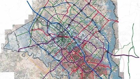
What might highways in and around Bryan/College Station look like in the year 2050…is the subject of a study being done by the local metropolitan planning organization (MPO).
The MPO’s Dan Rudge showed a map at last week’s Brazos County commission meeting that is part of a public review process that also involves the county engineer.
The proposed map includes an outer loop freeway that uses the existing Highway 47, and an inner loop six lane highway that includes the existing William D. Fitch Parkway to the south and Harvey Mitchell Parkway to the west.
Click below for comments from Dan Rudge to the Brazos County Commission:
Audio Player
Click HERE to read and download the presentation given to the Brazos County Commission.

